Urban rooms
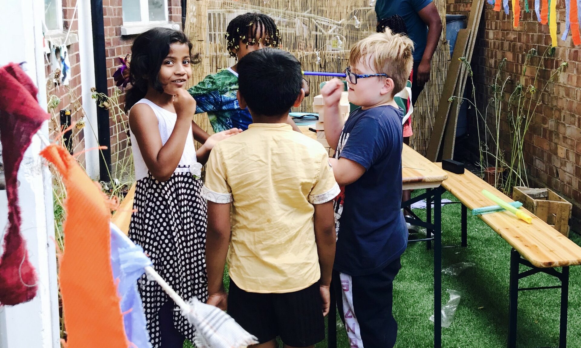
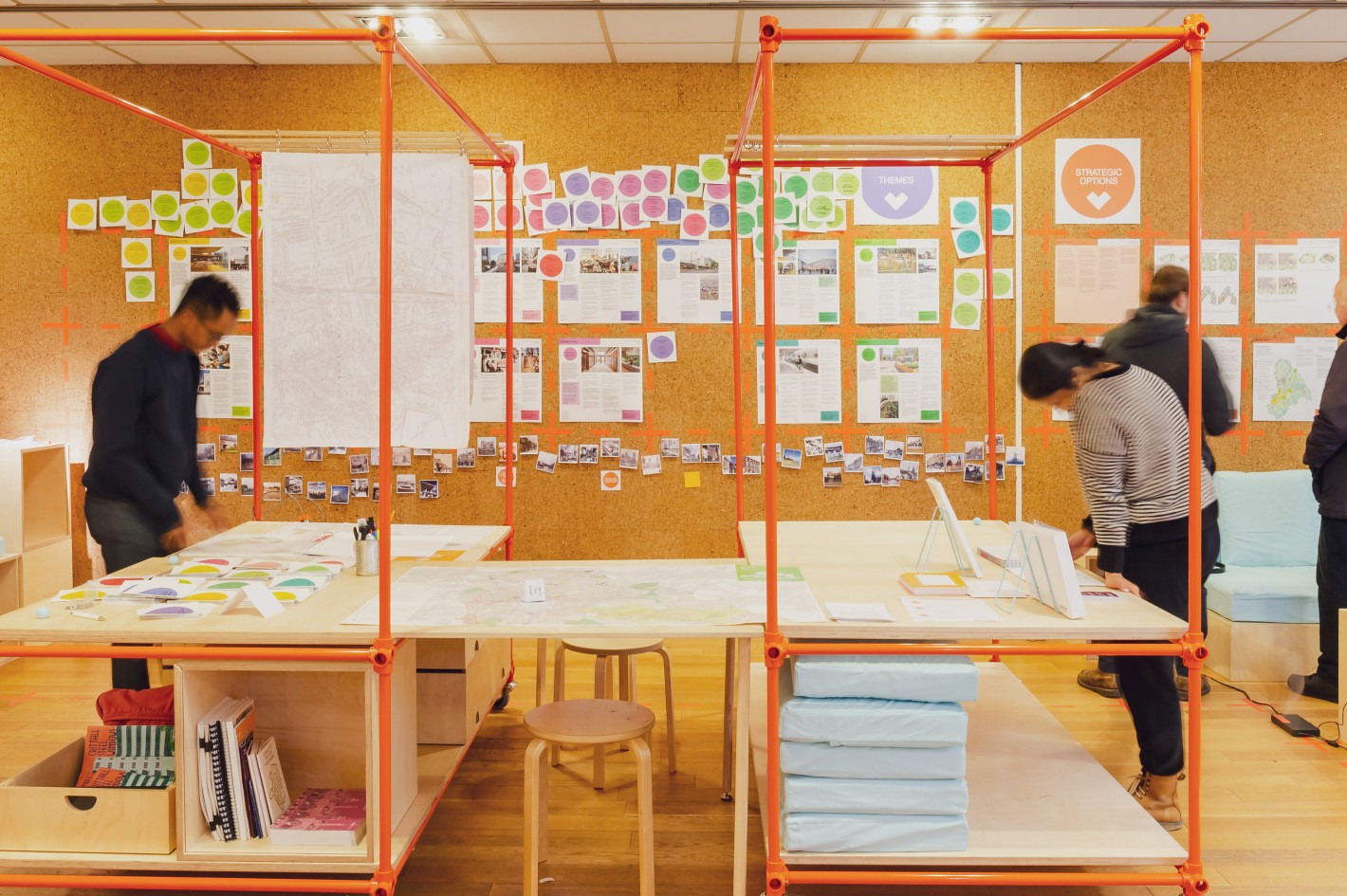
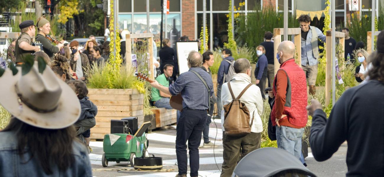
Such a fantastic idea! The Urban Rooms Network regroups physical spaces in various cities and neighbourhoods in the UK, where citizens can get informed and involved in where they live and work.
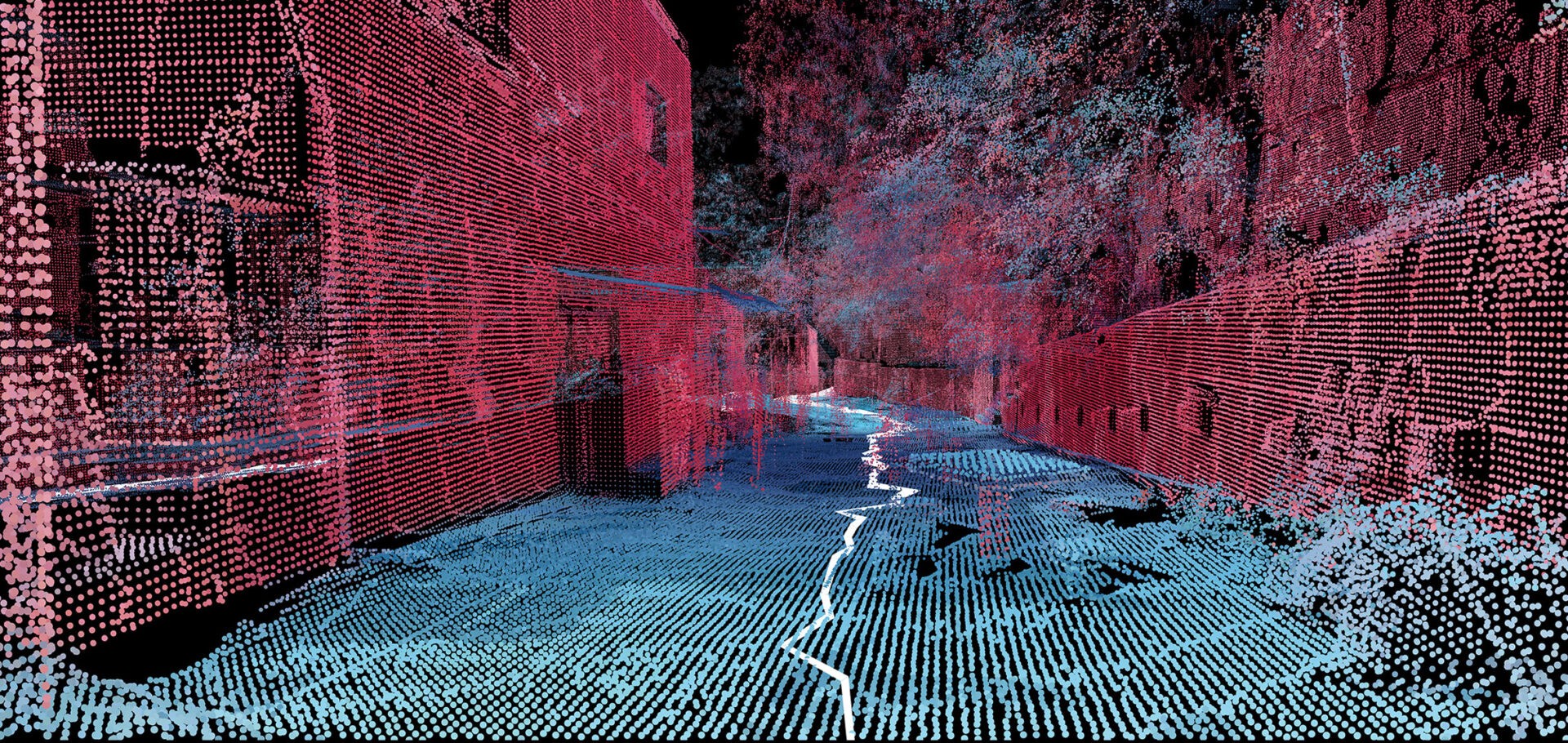
A team at the MIT Senseable City Lab mapped a Brazilian favela with handheld 3D-scanners. I’ll be honest, part of why I’m blogging this is that it just looks very cool! Called Favelas 4D, the project uses point cloud data from handheld LiDAR (Light Detection and Ranging) scans in order to study the form of Rocinha, a favela in Rio de Janeiro. The low-income urban settlements have complex structures that are built by their inhabitants over time. […] Fajardo entered Rocinha on foot and captured the data with a handheld LiDAR device that uses a laser pulse to measure distances. Tiny points are mapped to locations in space to create a dataset that reveals the intricate details of a 3D environment.
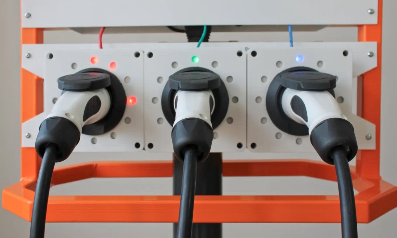
Today, not for the first time on this blog, we visit Amsterdam. This time for the innovative work of Thijs Turèl, who both heads up the Responsible Sensing Lab and manages the Responsible Urban Digitization program at the Amsterdam Institute for Advanced Metropolitan Solutions.
City innovation labs sharing lessons and shaping their identities For years, innovation labs